Nyandiwa calls Italy: Italy answers!
- Home Page
- Harambee project
- About Kenya
- Where we are
- News
- Our Schools
- Harambee in Second Life
- Traditions
- Ebook & Tales
- Movies & Games
Harambee Gwassi Kenya: Project area"The earth and the water we have, not have been given by our fathers, but borrow it from our children" (Swahili proverb)

Gwassi, Suba District, Nyanza South
In the Nyandiwa peninsula, the landscape is composed of scattered huts, surrounded by small fields.
The villages of the Gwassi electoral constituency are partly on the shores of Lake Victoria, as Nyandiwa and Kikubi (both at about 1200 meters above sea level), while facing Nyandiwa is located in the Kiwa island. On the hills near the lake, which reach up to 2000 meters high, there are Kikubi, Kisaku, Nyenga, Kimange, Kimoro, God Bura, Miramba, Pundo,and Kitawa.
The equatorial climate is tempered both height (there is anywhere above 1000 meters), and by the waters of the lake, but during the year alternating two long seasons of drought and two of heavy rains, and crops that make trade truly difficult. The poverty rate is particularly high 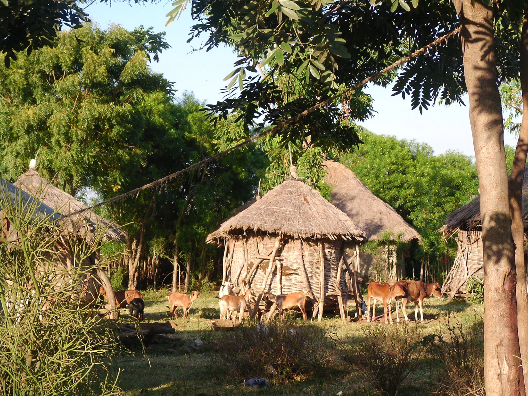 (about 60% of the population) and due to the emigration of most young people to the cities - or to the nearby regional capital Kisumu, both to Nairobi - where conditions are even worse, confined to degraded slums in urban centers.
For this reason, one of the main goals of IKSDP-Harambee project is training: in our College since 2008 have graduated more than 300 students who are now teaching in the various counties of Kenya.
Other projects are the Creative Center and the courses of Talent Academy
![]() See also: Our Nyandiwa Schools
See also: Our Nyandiwa Schools
- The area seen from satellite
- Nyandiwa
- The villages of Gwassi
- Origins and traditions of the Luo people
- Our Movies
- Images of social life
- A day in Gwassi
- Internet Point
- Recipes and Curiosities